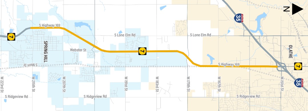
The K-7 Corridor is an area of Kansas Highway 7 (also designated US-169) from 215th Street in Spring Hill north to the I-35/K-7 interchange in Olathe,
as shown in the map below.
The Kansas Department of Transportation (KDOT) is updating the K-7 Corridor Management Plan to address safety, mobility, freight, and economic development needs along the rapidly growing corridor in Johnson and Miami counties. This plan will guide infrastructure decisions for the next 20 years and will be developed through a collaborative and data-driven approach. For more information, please the KDOT project webpage:
K-7 Corridor Management PlanCommunity input will be critical to create a plan that reflects the corridor’s needs, and we greatly appreciate your participation in this short (~7 min) survey. Your responses are anonymous and will be kept confidential.